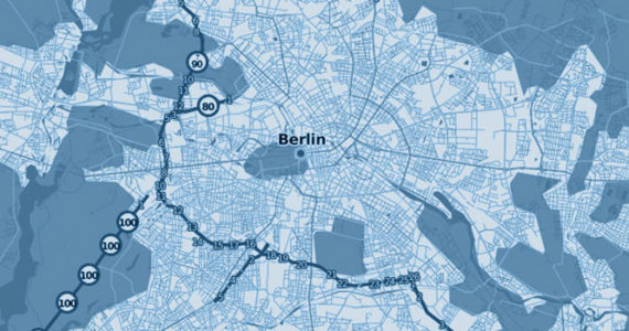
Cartography
We offer cost effective cartography and topography solutions using RPAS (Remotely Piloted Aircraft Systems) – UAV (unmanned aerial vehicle) equipped with the most appropriated sensors. Delivered maps and images can have an accuracy up to 4cm per yours requirements.
Mapping
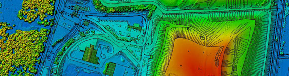
The incorporation of RTK (Real Time kinematic) technology reduce to the minimum the number of ground control points. Depending on the flight altitude and installed sensor we are able to deliver to you high accurate DTM (Digital Terrain Model), DEM (Digital Elevation Model), and other GIS models.
Orthoimages & Orthomosaics
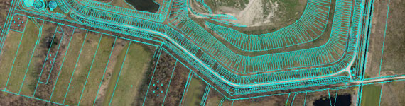
Our images are rectified and georeferenced to eliminate the distortions and to have a scale measurable product. All these images can be superposed to create an orthomosaic to optimize your cartography or topography analysis.
3D Modeling
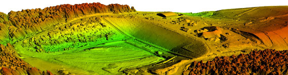
Creation of 3D models from different viewpoints per your requirements. Depending on your project we select the most appropriate sensor in order to offer you an economical and feasible solution.